Subscribe to Pittwire Today
Get the most interesting and important stories from the University of Pittsburgh.NSF funding will help Pitt researchers track real-time water quality with satellites
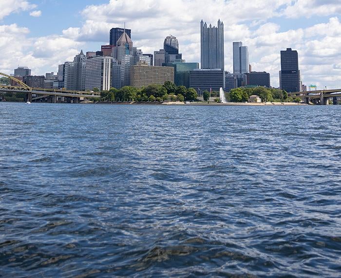
The Pittsburgh Water Collaboratory was awarded a $650,000 grant from the U.S. National Science Foundation’s Convergence Accelerator to develop a digital tool that will use satellite data and machine learning to provide agencies and community organizations with historical and current information about water quality across the Pittsburgh region’s rivers.
The Phase 1 Accelerator Grant will carry the project team through the prototyping and testing phase of a decision support tool designed to provide users with new data about water quality trends and outcomes across the region. The tool will also have features that integrate water quality with conservation, recreation and socioeconomic data, which will allow users to identify disparities and opportunities.
“We’re looking for a visual way to target where investment needs to go,” said Emily Elliott, professor of geology and environmental sciences in the Kenneth P. Dietrich School of Arts and Sciences. “We want to be able to show: Look, this riverside community doesn’t have clean water for 60 miles in either direction. They don’t have access to boat ramps or to fish or for kids to get close to the water.”
Using principles of human-centered design, the team will work with a range of stakeholders to determine how a tool could best serve potential users, including nonprofit and government organizations. To support this effort, a diverse and interdisciplinary project team was formed that includes the UrbanKind Institute, Upstream Pittsburgh, the Internet of Water Coalition, the Lincoln Institute of Land Policy Center for Geospatial Solutions and representatives from the Pennsylvania Department of Environmental Protection and the U.S. Army Corps of Engineers.
“We’re going to ask people upfront: Would this benefit your decision making? How would the data need to be displayed in order to do that?” said Elliott, who is also the co-founder of the Water Collaboratory, an engaged research center that focuses on working with communities and agencies to address water issues across the Ohio River Basin.
Going down to the river and seeing dirty water is different than being able to tell what’s in the water and why it’s the color it is. That’s the type of data John Gardner, assistant professor of geology and environmental science, can provide.
In his research, Gardner uses data from NASA satellites to monitor changes in bodies of water. For this project, he’ll match satellite data with corresponding data taken from the ground. He’ll feed these data into a machine learning algorithm that will in turn learn how to interpret the satellite data.
The resulting program will be able to give a water quality report for any point on a river. “Imagine looking at a map, and along every point you would know how much sediment was in it, how much algae was in it, how hot the water is,” Gardner said.
Beyond providing up-to-date data that will update roughly every two weeks, the tool will be able to show how water quality has changed going back to the mid-1980s.
“There are places where people assume their water quality is poor, but large monitoring gaps prevent widespread understanding of whether people have equal access to clean water for recreation” Elliott said. “This is the first step along the path to a cleaner future for our region’s rivers. By visualizing where investment and action are needed, we aim to provide a powerful tool for riverfront communities to take advantage of the growth potential of new recreational economies.”
— Brandie Jefferson, photography by Alex Mowrey