| front |1 |2 |3 |4 |5 |6 |7 |8 |9 |10 |11 |12 |13 |14 |15 |16 |17 |18 |19 |review |
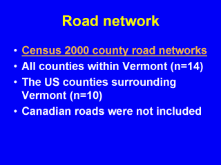 |
When compiling the data collection for the Census 2000, the United States government recorded all of the road networks within the country. These county road networks are freely available. The relevant county maps were combined into one "megamap" for study purposes. |