 |
 |
 |
 |
 |
 |
 |
 |
| Slag |
 |
 |
 |
Glaciers
A glacier is a large mass of ice which is thick
enough to deform and flow under its own weight. During the Pleistocene Epoch,
conmmonly known as the "Ice Age", great continental-scale masses of ice spread
southward into Pennsylvania from Canada. The ice never made it as far south as
Pittsburgh, instead ending at Morraine State Park. However, the indirect
effects of the glaciers had a profound effect on the landscape of southwestern
Pennsylvania.
Evidence of the most recent glacial event (about 20,000
years ago) at Morraine State Park include boulders of igneous rocks which were carried by the glacier
from farther north and deposited when the glacier melted.
The ice
sheet blocked rivers and streams, causing changes in the patterns of river flow.
What is now the Allegheny River used to flow north into the Lake Erie basin.
The ice dammed the river, creating Lake Monongahela. The lake eventually became
deep enough to overtop higher areas to the south. The lake began to drain to
the south, and erosion gradually reversed the slope of the river, so that it
continued to flow south after the ice melted.
When the ice sheet
melted, it not only dropped all the debris it carried but also put a lot of
extra water into area rivers. This large volume of water helped erode and
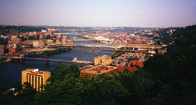
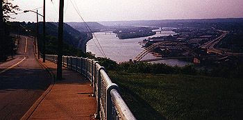
sculpt Pittsburgh's hills and valleys.
 |
 |
Links:
Glacier Bay AlaskaGlacier