|
|
|
|
front |1 |2 |3 |4 |5 |6 |7 |8 |9 |10 |11 |12 |13 |14 |15 |16 |17 |18 |19 |20 |21 |22 |23 |24 |25 |26 |27 |28 |review |
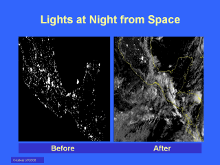 |
Furthermore, satellite imagery analysis provides an efficient survey of large
geographic regions for environmental indicators of disease risk affecting human
populations and has the potential to make an effective surveillance of disease
risk for vector-borne diseases practical for public health applications. The
basis for the supposition that remotely sensed data will be useful for
anticipating disease risk is that pathogen transmission is facilitated by
arthropods, whose survival and reproduction are influenced by variations in
elevation, temperature and humidity. In addition, advances in the understanding
of the ecology of disease organism, vectors, and their reservoirs and hosts have
directed public health researchers to assess a greater range of environmental
factors that promote disease prevalence, disease vector production, and the
emergence and maintenance of disease foci.
However, the capabilities of remote sensing technology have not been completely disseminated to The Caribbean and Central American public health investigators and agencies that could be using them. The goals of this public health endeavor should be to: · Generate a guide to satellite systems and data products that could be used for public health research, surveillance, control and modeling the distribution of human disease. · Develop and maintain a public health database on the Internet containing epidemiologic and environmental data, as well as individual sensor and data product characteristics. The following criteria should apply: 1. Data products should be fairly straightforward to use, (i.e., not requiring a lot of complex pre-processing that requires non-public domain algorithms or calibration data from many other instruments). 2. Data products should be digital not photographic, to facilitate their use in geographic information systems and models, as well as integrated with other data. |