| front |1 |2 |3 |4 |5 |6 |7 |8 |9 |10 |11 |12 |13 |14 |15 |16 |17 |18 |19 |20 |21 |22 |23 |24 |25 |review |
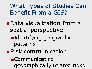 |
Data visualization Data visualization is often useful in identifying patterns and relationships when data are displayed from a geographic perspective. For example, a tabular report showing mortality rates of census block groups can be useful in identifying which specific block group have relatively high or low rates. When the block groups are depicted in a thematic map, however, sets of contiguous block groups with unusually high rates can be readily identified as being within close proximity to each other. In another example, clusters of point can be readily identified by viewing them on a map, whereas a simple report listing would not reveal their proximity to one another. Risk
Communication Travel Map are often used to communicate diseases which are endemic to certain areas. These can be useful to determine what types of preventative precautions should be taken and what vaccinations may be required when visiting those areas. |